What's the Catch?

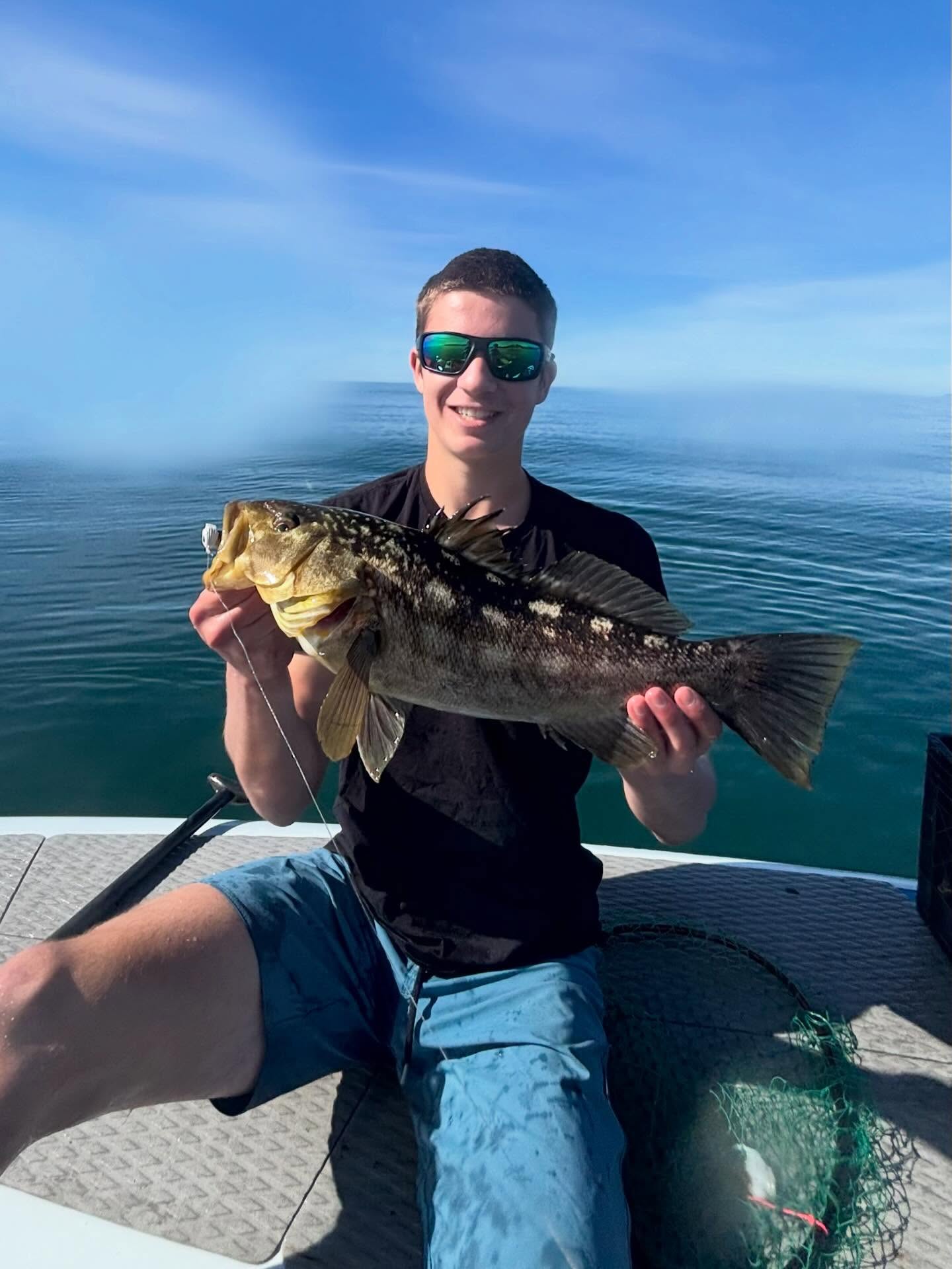
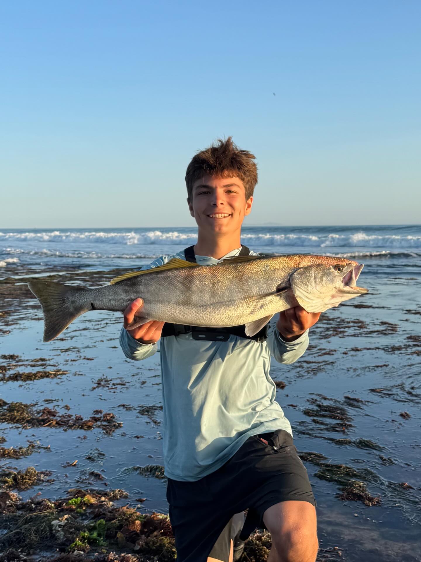
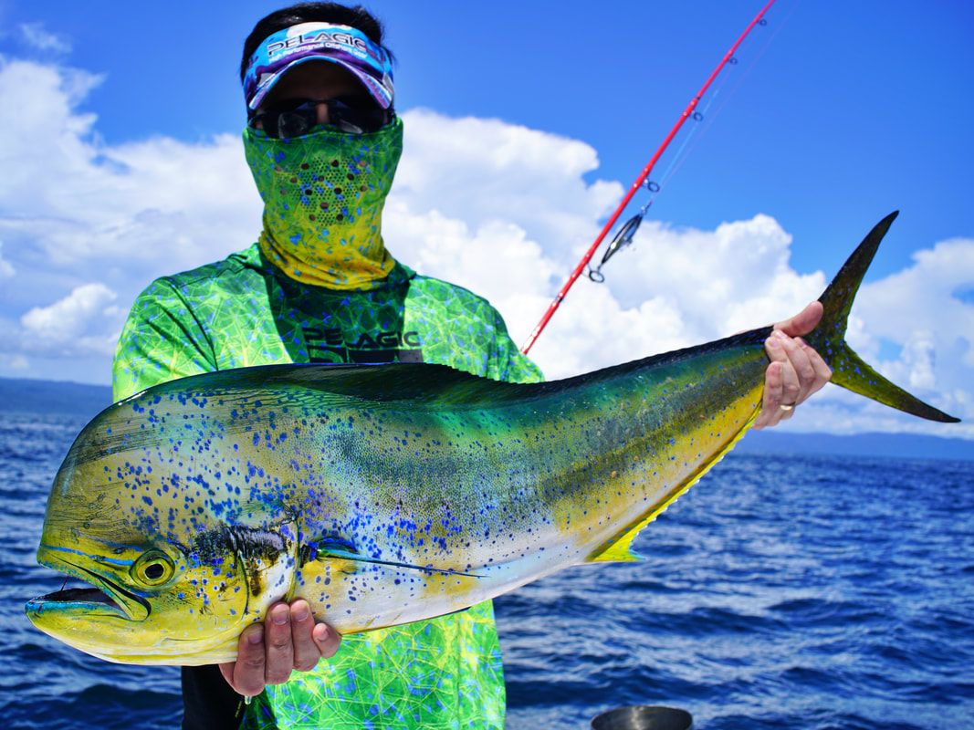
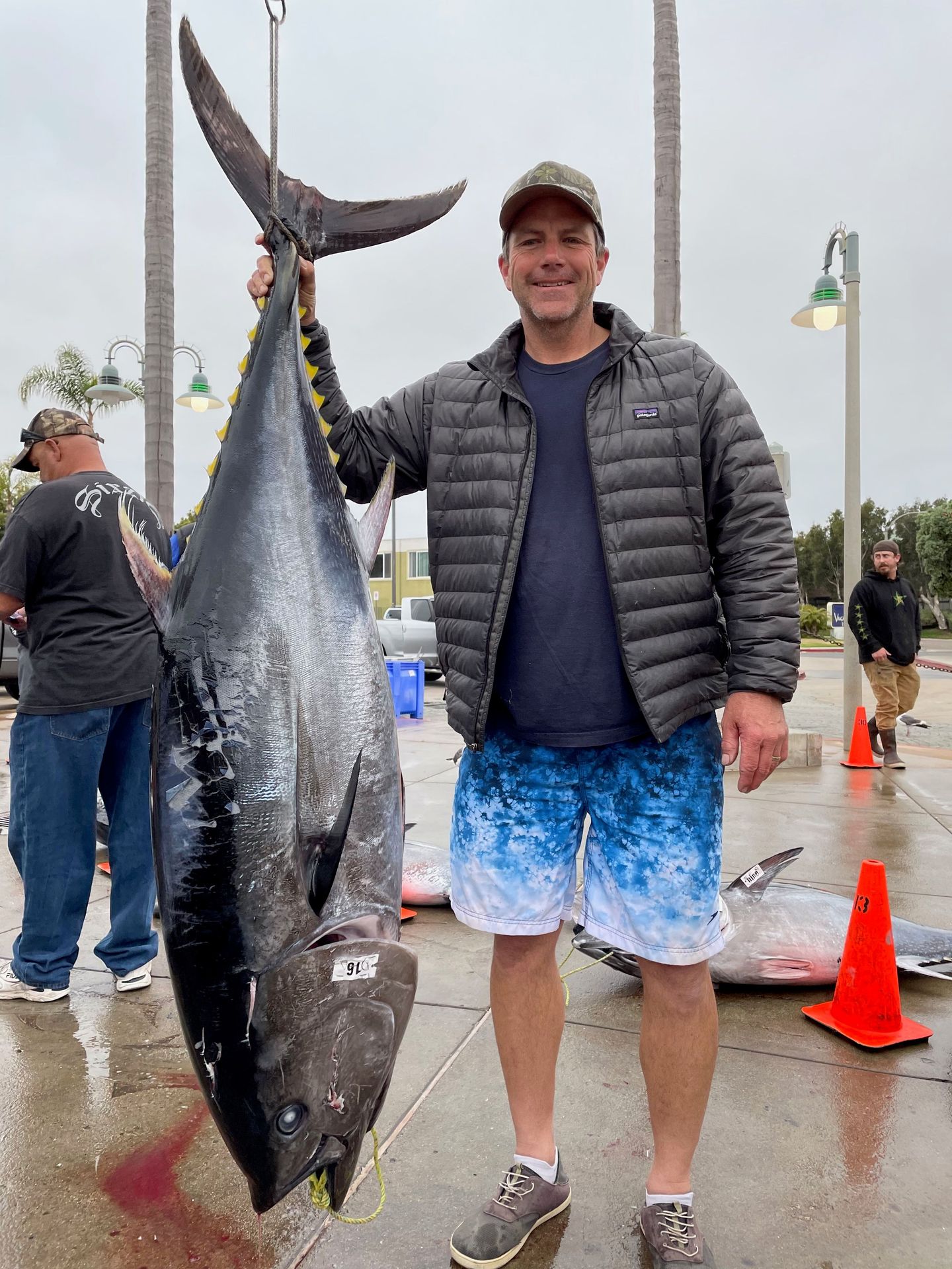
Saltwater
Whether you're heading out on a long-range trip, fishing the channel, or working the surf and piers, we have the gear you need for whatever the Pacific throws at you.
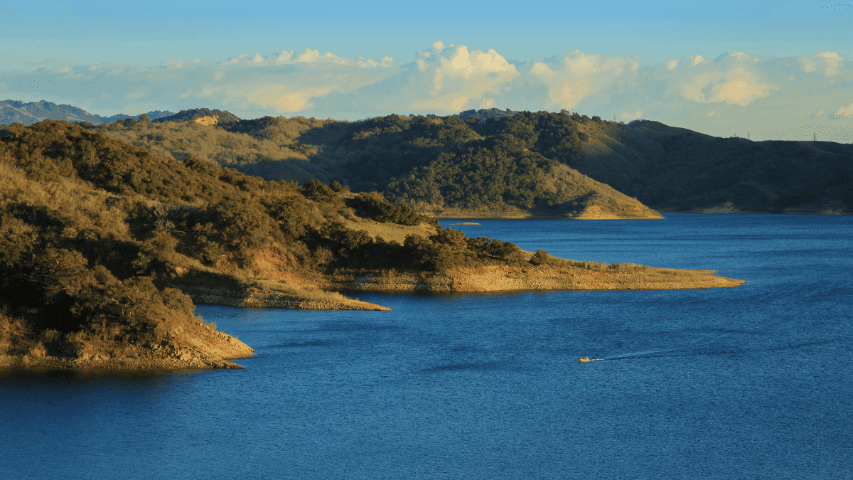
Freshwater
Prefer lakes and rivers? We stock everything for Cachuma and Casitas, and can set you up for trips to waters across the state.
Full-Service Tackle Shop
As Santa Barbara's only full-service tackle shop, we keep current reports on hand and are happy to talk gear and technique with anglers of any experience level. Come by anytime.
Our goal is to provide a clean, friendly, knowledgeable, and well-stocked tackle store for our clients. We pride ourselves on timely communication, follow-through, and quality products and services.
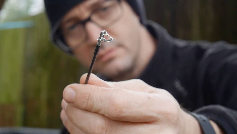
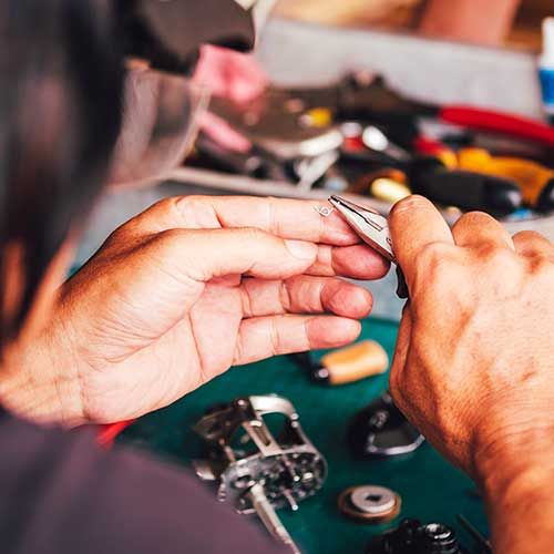
Learn About UsWe also build custom rods and handle rod and reel repair.
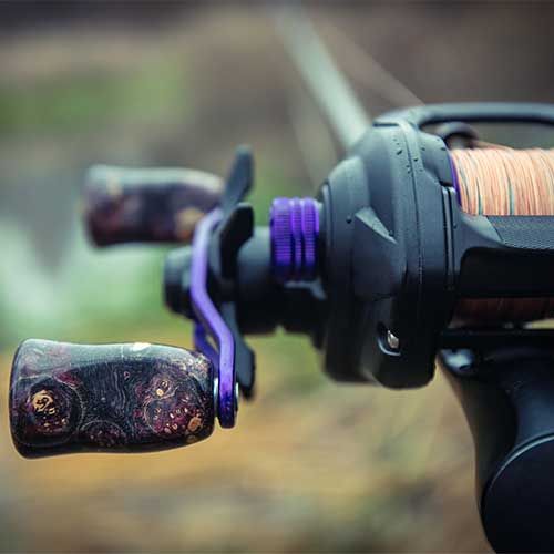
Rod Building Components
Custom Rods
Rod Repair
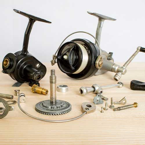
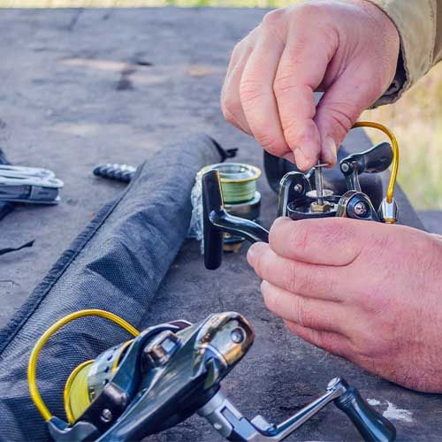
Reel Service, Reel Repair, Line Spooling
Questions? Reach out to Hook, Line, and Sinker and we'll get back to you ASAP!